

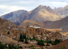
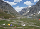
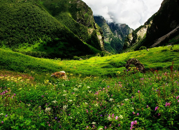
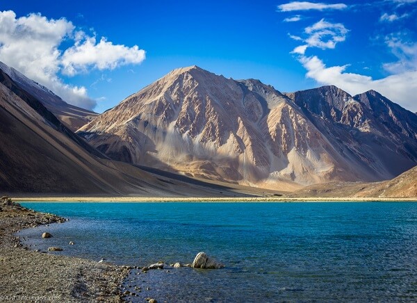
Ladakh Geography
Ladakh borders Tibet in the east, the Lahaul and Spiti in south, Jammu & Kashmir in the west, and the trans–Kunlun territory of Xinjiang in the far north. Before partition, Baltistan was a part of Ladakh which is now under Pakistani control.
The mountain ranges in this region were formed over a period of 45 million years by the folding of the Indian plate into the more stationary Eurasian Plate. The drift continues, causing frequent earthquakes in the Himalayan region.
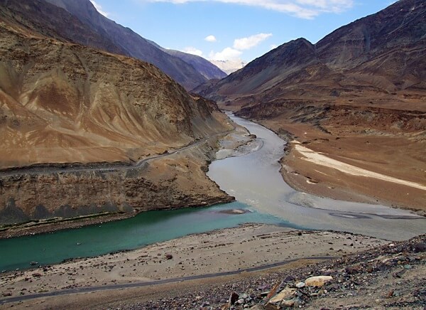
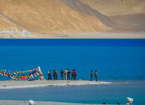
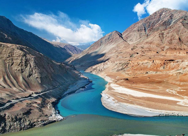
The Indus River in Ladakh locates most important towns close to its banks except cities Shey, Leh, Basgo and Tingmosgang. Only a part of River Indus flows through Ladakh rest of the River falls in Pakistan territory.
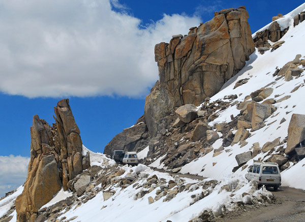
The Siachin Glacier is located in the eastern Karakoram range in the Himalaya Mountains along the disputed India-Pakistan border. The Karakoram range forms a great watershed that separates China from the Indian subcontinent. The glacier is 70 km long. It is the longest glacier in the Karakoram and second-longest in the world's non-polar areas. It falls from an altitude of 5,753 covers parts of both India and China. The region has many passes at an altitude from 17,880 to 25,330 feet above the sea level. Kangri is Ladakh’s highest peak at an altitude of 25,171 ft.
Most Browsed Itinerary


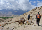
Leh Ladakh Things to do

Similar Packages

5 Days - Ladakh Monasteries Tour
Leh - Shey - Thiksey - Hemis - Stok - Khardongla Pass - Leh - Delhi- 5 Days
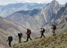
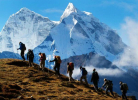
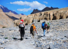
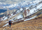
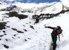
5 Days - Leh Ladakh Trekking Tour
Delhi - Leh - Likir - Yangthang - Rhizong - Shukpachan - Temisgam - Lamayuru - Leh- 5 Days
6 Days - Colourful Hemis Festival – Ladakh
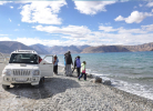
Leh – Indus Valley -Magnetic Hills - Alchi – Likir – Spituk - Hemis - Leh – Khardonla Pass – Silk route – Nubra – Khardongla - Leh- 6 Days
